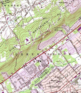
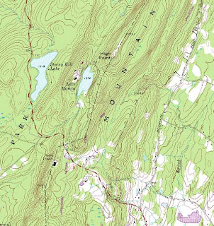
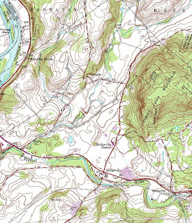
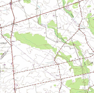
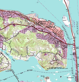
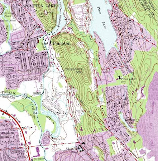
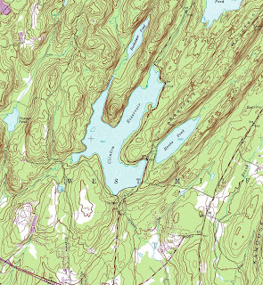
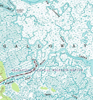
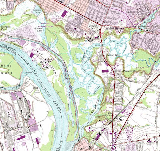
 A special thanks goes out to Mike Siegel and the Rutgers Cartography Lab. This is a great resource for students and for pros. A national resource is the Libre Map Project, but it is a bit harder for first time users.
Comments and news about Environmental Planning and Design. Intended for all audiences including students and alumni of the Rutgers major of Environmental Planning and Design.


 A special thanks goes out to Mike Siegel and the Rutgers Cartography Lab. This is a great resource for students and for pros. A national resource is the Libre Map Project, but it is a bit harder for first time users.

No comments:
Post a Comment