It is easy to mistake the Great Lakes as stable and calm - they are just lakes and immune from sea level rise. But, residents of the Upper Midwest know that are more like incredibly active and dangerous inland seas, home to dramatic storms and fabled shipwrecks, and subject to damaging changes in levels.
The current changes in levels are making a visible impact along the Lake Michigan's shore in Indiana. Over the weekend, the Indianapolis Star published a serious, in-depth look at the issues and problems involved in this complicated environmental change.
First, the 2,000 word feature sets the stage by reminding us that this is a serious force of nature. They focus on a road near the lake that is getting severely undercut:"Lake Michigan is at near record levels,15 inches above this time last
year. Its waves, which can top 20 feet during storms, are now chewing
away at the earth underneath the road."
Then it talks about several different communities, illustrated with useful photos and videos. For our environmental planning class this is helpful in pointing out how the fractured nature of the jurisdictional landscape.
And it argues that this isn't just a local problem. That shoreline is home to America's newest National Park: Indiana Dunes NP. And that makes it all a problem that belongs to all of us. But the neighbors aren't so happy, since the National Park (and the US Army Corps of Engineers) oppose letting some parts of these communities use intensive built structures to fight back against nature. (I am sure there is more to it, but you get the idea)
If you think lakeshore erosion isn't a serious thing, just watch the waves in this video.
31 March 2020
30 March 2020
Utopian community: New Harmony
An example of a utopian plan for a community is New Harmony, Indiana. Horrified by the urban nightmares of industrialized and overcrowded 19th Century cities like London and New York, New Harmony was offered planned as a utopian alternative. Demonstrating the power of flexible idealism, it even survived a generational change from religious separatists to secular reformers. With buildings by Philip Johnson and Newark-native Richard Meier, it also features built architecture that continues to strive to lift people up and change lives.
29 March 2020
Using Geography in the Fight Against the Pandemic.
Another good story about GIS as one tool in the comprehensive fight against COVID-19 in, Using Geography in the Fight Against the Pandemic. It includes John Snow and a cautious message about using GIS as a complement to other tools and technologies. Most importantly, the article quotes Assistant Professor Jennifer Whytlaw who is a Rutgers alum.
28 March 2020
Peter Wacker
When I first came to Rutgers, Peter Wacker was quick to welcome me. He and I had both attended LSU for graduate school and, despite having few mutual acquaintances there, we shared connections to remarkable places in the Louisiana landscapes. He was also an incredible advocate for New Jersey and schooled me an appreciation for the landscapes I was discovering here in his home state.
Before I knew it, I found myself on graduate committees with him where I got to watch him in action as an educator. These were some of my first experiences as a graduate faculty member and were incredibly formative. But I made the mistake of thinking he was just innocuous friendly faculty member. As I began to attend meetings in other corners of Rutgers and all across New Jersey, I discovered that he was an academic celebrity. Every one seemed to know him, counted on his expertise, read his writings, and wanted to be sure I knew him too. But which Professor Wacker were they telling me about? The geographer? The historian? The expert on NJ land use? The researcher? The teacher? There seemed to be many Peter Wackers all leaving an indelible mark on New Jersey.
Sadly, we lost Peter Wacker this week. I expect that there will be a few other detailed professional obituaries later. But a first obituary is posted for those who did not know him as well.
26 March 2020
MIchael Sorkin
The obituaries of Michael Sorkin will struggle to capture all of his work: architect, theorist, urbanist, author, professor. I will be interested to see which projects they list as his most prominent. But I am still struck by his comments about the Oculus in his 2016 piece, The Cathedral at Ground Zero.
I really like the big beast as both object and space, and already feel sad about its imminent squishing between the two crappy towers that will flank it. If only it could just walk—or fly—away! Indeed, Calatrava had originally wanted its wings to flap, and I sympathize with his disappointment that this motility was value-engineered into stasis.I hope his passing doesn't get lost in a tidal wave of sad news. He touched a lot of designers, planners and students and worked to make so many cities better.
Camp Pendelton alternatives futures report
Here is a link to the Camp Pendeleton alternative futures report from Harvard GSD in 1997. It is amazing to go back a see it again.
25 March 2020
23 March 2020
1910 aero-Map of New Brunswick
The Library of Congress has a rich Digital Collection that we access pretty often. One of my favorite pieces is the panoramic map of New Brunswick from 1910 with so many richly drawn details, surrounded by photographs capturing that moment in the city's history.

The environmental art of Stuart Ian Frost
Stuart Ian Frost does unimaginable things to trees.
I recommend you start with
The Broken Oak
Embla
Skin Deep
Fagus
Loop
A Place is a place is a place from Sculpture in the Wild on Vimeo.
I recommend you start with
The Broken Oak
Embla
Skin Deep
Fagus
Loop
A Place is a place is a place from Sculpture in the Wild on Vimeo.
22 March 2020
Research Paper: Mapping COVID-19
Maged Kamel Boulos, a Chinese researcher, and Este Geraghty, Chief Medical Officer at Esri, have a new research paper out examining various online GIS-enabled tracking of COVID-19.
Kamel Boulos, M.N., Geraghty, E.M. Geographical tracking and mapping of coronavirus disease COVID-19/severe acute respiratory syndrome coronavirus 2 (SARS-CoV-2) epidemic and associated events around the world: how 21st century GIS technologies are supporting the global fight against outbreaks and epidemics. Int J Health Geogr 19, 8 (2020). https://doi.org/10.1186/s12942-020-00202-8
The paper makes some interesting points about availability and timeliness of data comparing information access duing Chinese New Year (2020) with the Hajj (2014). Along with the recent Lancet article on the JHU dashboard, this may become a must-cite for health geography for quite a while to come.
12 March 2020
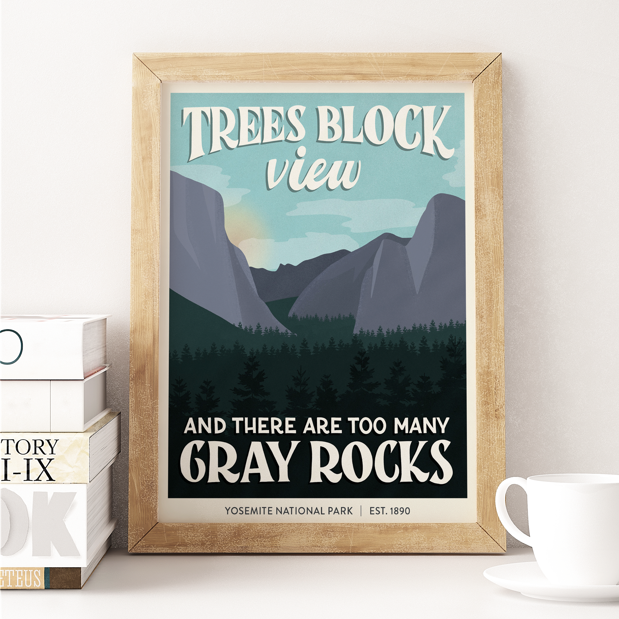
National Park posters
Someone has taken the idea of the 1-start Yelp reviews of National Parks and created fantastic looking Subpar Parks posters.
11 March 2020
Vocabulary enhancement
Here is a word I learned in the NRCS Soils Survey today:
Varve
A sedimentary layer or a lamina or sequence of laminae deposited in a body of still water within a year. Specifically, a thin pair of graded glaciolacustrine layers seasonally deposited, usually by meltwater streams, in a glacial lake or other body of still water in front of a glacier.(A slightly simpler definition is at Dictionary.com)
02 March 2020
Colombian commuting
Commuting is fascinating and complex and dreadful. Commuting in Colombia is especially complicated as they have 3 rush hours. A new piece at CityLab provides fascinating maps of Medellin commuting patterns that illustrate a financial disparity in commuters: "The researchers also found that commuting time decreases as
socioeconomic class increases, due not only to smaller distances but
also more efficient modes of transportation."

As someone studying access to treatment in Colombia, this is another reminder of how much travel time shapes the ultimate outcomes of access. For those with limited mobility, this would be especially true.

As someone studying access to treatment in Colombia, this is another reminder of how much travel time shapes the ultimate outcomes of access. For those with limited mobility, this would be especially true.
Subscribe to:
Comments (Atom)


