29 January 2018

USGS Topo maps online

In class today we will be talking about ways to access the free USGS topographic quads for NJ online.

It is amazing to me to think how much the use of these has changed aver the years even though the maps themselves have changed so little. For those that are new to the maps, I am sharing some different scenes from around New Jersey that may be of interest. Just click on each and they'll expand.
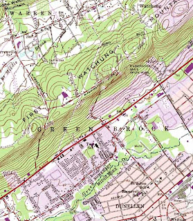
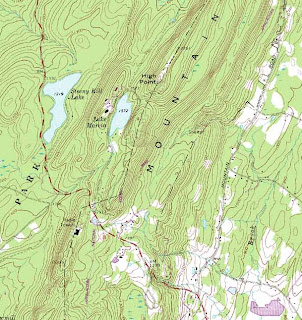
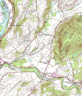
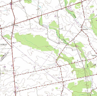
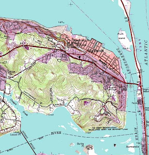
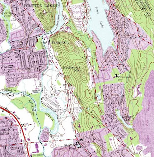
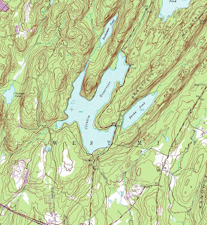
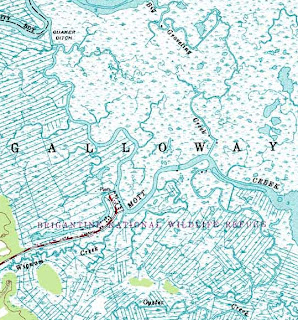
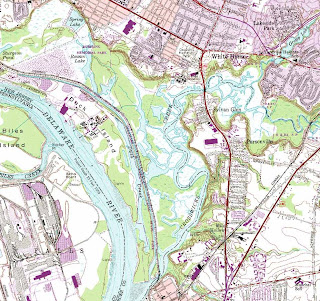

A special thanks goes out to Mike Siegel and the Rutgers Cartography Lab.  This is a great resource for students and for pros.  A national resource is the Libre Map Project, but it is a bit harder for first time users.

Good for health, bad for security?

 GPS company Strava publishes something called the Global Heat Map which shows where people are using GPS-enabled fitness devices and engaged in other activities. The NYTimes reports that aside from showing where people work out, it also shows (possibly) where there are secret military bases.


23 January 2018

Maps as art

If your GIS assignments are looking a little dull, maybe Topi can help inspire you to achieve something more creative.

Topi Tjukanov is a Helsinki-based GIS/Cartographer who does amazing things with public data. His gallery online includes an elegant map of the optimal route from the geographic center of the US to every county in the US. Another map he created illustrates the differences between driving, biking, and walking to the outer edges in his hometown.

21 January 2018

Caught Mapping

PlaNetizen had a great Friday Eye Candy on hand-drawn maps that included this classic film, Caught Mapping. It presents a fairly auto-centric view of mapping, but is a fun step back in time.


20 January 2018

Municipal Planning Board meetings

All of the students in my Environmental Planning class will be attending a Municipal Planning Board meeting.

The first step is to find a date and place that works for you. One way to do this is to visit the official web site for a city/township/borough in New Jersey and find the official schedule for the planning board meetings.


A few others will simply post a notice that they meet one some repeating pattern, like the 3rd Tuesday of every month. Whichever you choose, I encourage you to call before you go, simply to be sure the meeting isn't postponed or cancelled.

19 January 2018

Great job opportunity

The 3-d geospatial startup of Envelope is looking for help. They are located in the amazing Woolworth building in NYC. If you don't know them, you should:
Envelope is a software company, spun out of a longtime collaboration between award-winning SHoP Architects, and the Director of MIT’s Civic Data Design Lab. Our 3D urban mapping platform integrates proprietary geospatial datasets, sophisticated algorithms, and iterative scenario analysis. We enable real estate professionals to visualize opportunity and make faster, smarter, and more discreet investment decisions. 
 They are looking for a zoning specialist, 3d engineer and a Senior Product Designer.

Saving the coast, 25,000 acres at a time

Unwilling to leave the land for development, a couple in California donated $165 million to The Nature Conservancy to ensure that a critically important piece of the coastline is preserved. National Geographic has a couple photos and reports that:
The land was once the Bixby Ranch, then later became the Cojo Jalama Ranches, a privately owned piece of coastal property that the LA Times once called "the last perfect place."
 James Fallows offers a lengthy piece in The Atlantic. Knowing the the donors, he got a personal sense of what this meant to them:
Much as the Rockefellers’ example is remembered now—or Carnegie’s with his libraries, or the Mellons’ and Fricks’ with their museums—the Dangermonds hope that in their smaller-scale way they can set an example others can refer to. “We would love to have 100 Dangermond Reserves,” he said. “But I’m not Carnegie. We’re not in the oil business. We can’t do this by ourselves. We’re telling the story to set an example of what others could do.”

18 January 2018

Traffic fatalities

Curbed reports on a study that found that the US has unusually high rates of traffic fatalities compared to peer nations.

“The United States is one of the richest countries in the world, yet we have a very poor record of road safety,” says Welle. “The U.S. has nearly triple the fatalities of countries like Sweden or the Netherlands.”

The article points out that some states have already taken steps towards these International standards. By contrast, others seem to promote danger:

“If you go on city streets, especially in the U.S. suburbs, these roads are what people call dangerous by design,” she says. “And often, the level of forgiveness of speeding here, of allowing people to go 10 miles over the limit, can mean the difference between survival and death.”
Remember, these are not accidents, they are fatalities. It is a matter of health and safety, not just convenience.

17 January 2018

"Widespread" everywhere

The CDC has weekly updates on the spread of the H3N2 flu. Just like dessert, they save the maps for last so flip down to them.

By itself, this maps is intimidating. But if you go back and see past years, you'll realize how terrifying this really is.