While you are on campus, you can access https://www.socialexplorer.com/ through a guest account that lets you make demographic maps. The map below shows where municipal government employees are.
28 February 2019
26 February 2019
Story maps
One of the more interesting aspects of ArcGIS is the way that the platform supports Story Maps. These are story-telling mechanisms that feature interactive maps as their backbone.
The Out of Eden Walk Milestones Story Map uses a map to capture an amazing journey, but also integrates prose and photography and HD video along the way.
Save a trip to Florida and explore the public art on the campus of USF.
The Sounds of the Wild West Story Map integrates audio in ways that transport you.
The Library of Congress has created an amazing historic exploration called Camera and Locomotive: Two Tracks Across the Continent. Loaded with content, it is more like an online museum exhibit than it is a web page.
There are environmental planning story maps, like this one on NYC Hazard Environment.
And, closer to home, check out the Susan Edmund's Mill Brook: Portrait of an Urban Stream.
18 February 2019
NJ GeoWeb
Looking for 1930s aerial photography of NJ or need a way to overlay municipal boundaries with the NJ DEP Known Contaminated Sites List? You should try the NJ Geoweb app. But you can do more sophisticated spatial searches, too. It would let you find all of the schools in Morris County that are within 1200 feet of a Dry Cleaner.
17 February 2019
16 February 2019
Web Soil Survey
Take a few minutes and explore a familiar site in the NRCS Web Soil Survey. Here is one I made while exploring a section of the park at Gettysburg.
Also, for fun, check out the 1925 Bergen Area Soil Survey.
Also, for fun, check out the 1925 Bergen Area Soil Survey.
06 February 2019
NJ Topo Maps at Rutgers
Some different scenes from around New Jersey as depicted in USGS Topographic Quad Maps. Just click and they'll expand.
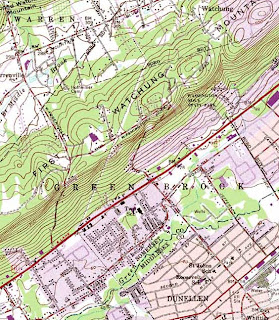
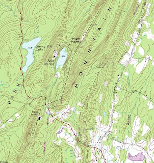
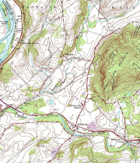
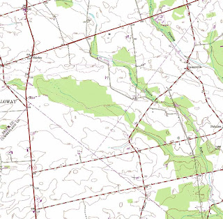
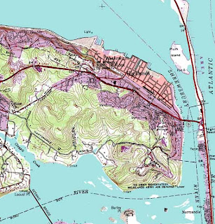
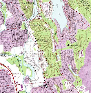
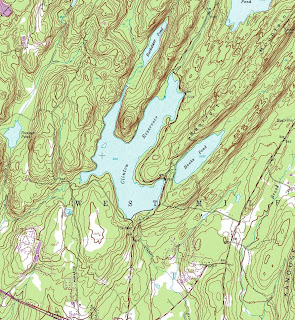
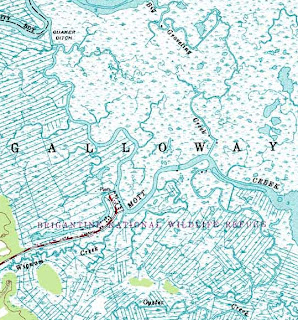
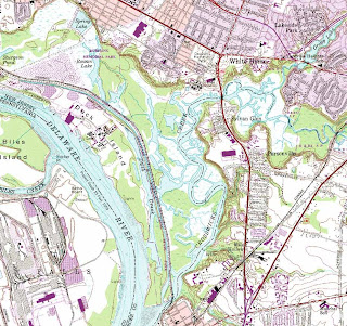 A special thanks goes out to Mike Siegel and the Rutgers Cartography Lab. This is a great resource for students and for pros.


 A special thanks goes out to Mike Siegel and the Rutgers Cartography Lab. This is a great resource for students and for pros.
04 February 2019
01 February 2019
Sandy River Flood
From class yesterday, scary scenes with good music ("La Femme D'argent" by Air).
Here is a map showing the river's location.
Here is a map showing the river's location.
Subscribe to:
Comments (Atom)


